Longleaf Environmental Consulting performs sampling, assessment, and remediation of groundwater and surfacewater. Our staff of environmental engineers, environmental scientists and hydrogeologists has significant experience in working on projects for various private and governmental clients throughout the United States.
Specific services and experience areas include:
Erosion & Sediment Control
Groundwater assessment and remediation
Water and consumptive use permitting and monitoring
Geologic and hydrogeologic investigation
Groundwater flow an contaminant plume modeling
Well field development and potable supply well installation
COMPLETED PROJECT EXAMPLES
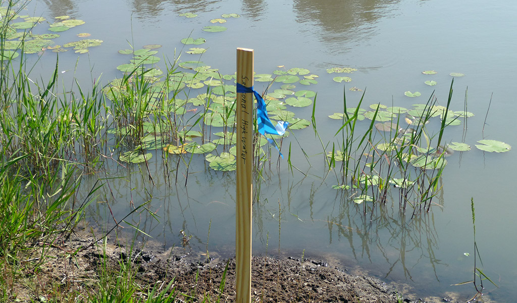
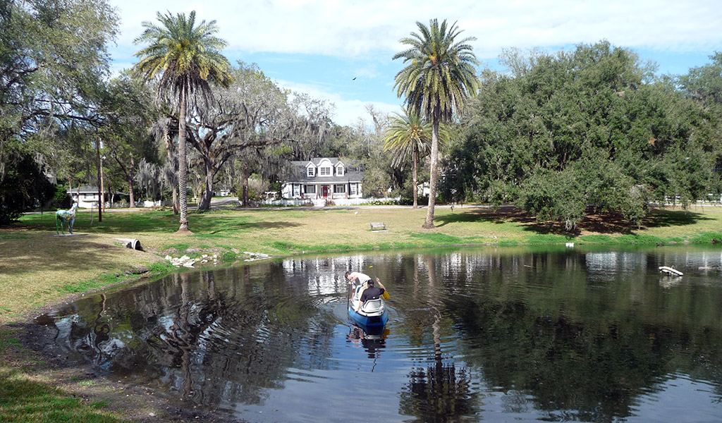
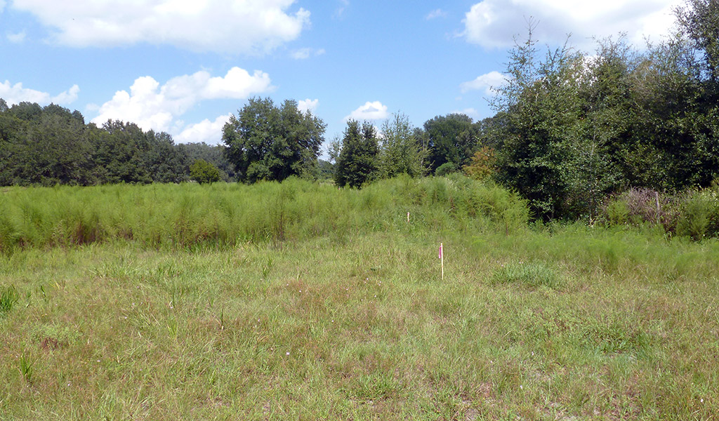
Wetland Delineation: Lake County, Florida
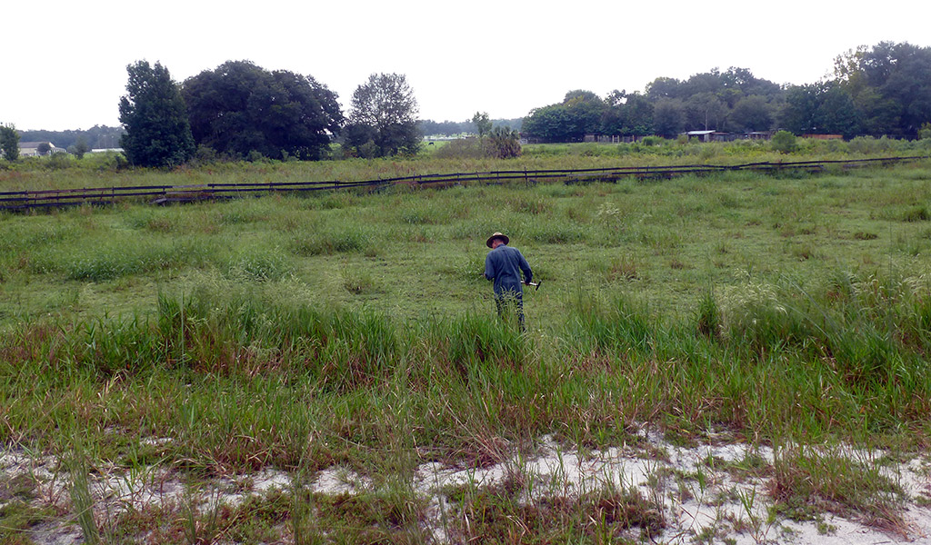
Longleaf Environmental was contracted to perform a Wetland Delineation on approximately 60 acres of land in Lake County, Florida. Our staff reviewed the approximate property boundaries and aerial images prior to mobilizing to the site.
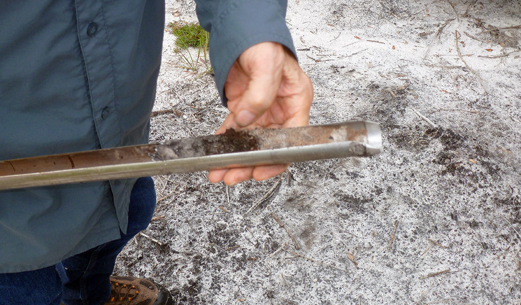
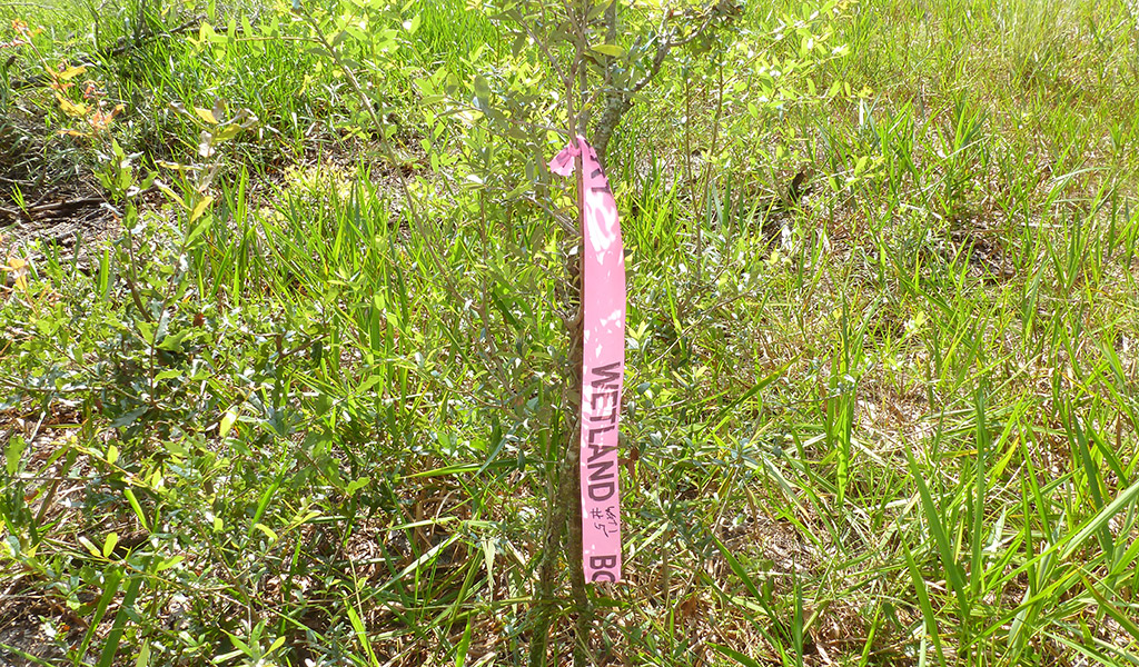
Upon arrival, we determined the property boundaries and began our field survey. We evaluated vegetation and soil conditions in order to estimate the high-water level. Our staff flagged the wetland boundary as part of the delineation process.
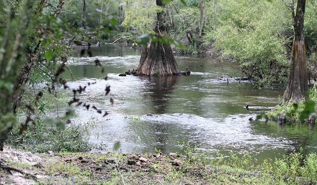
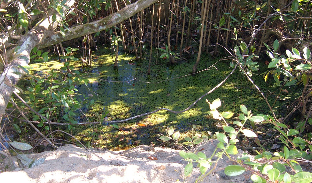
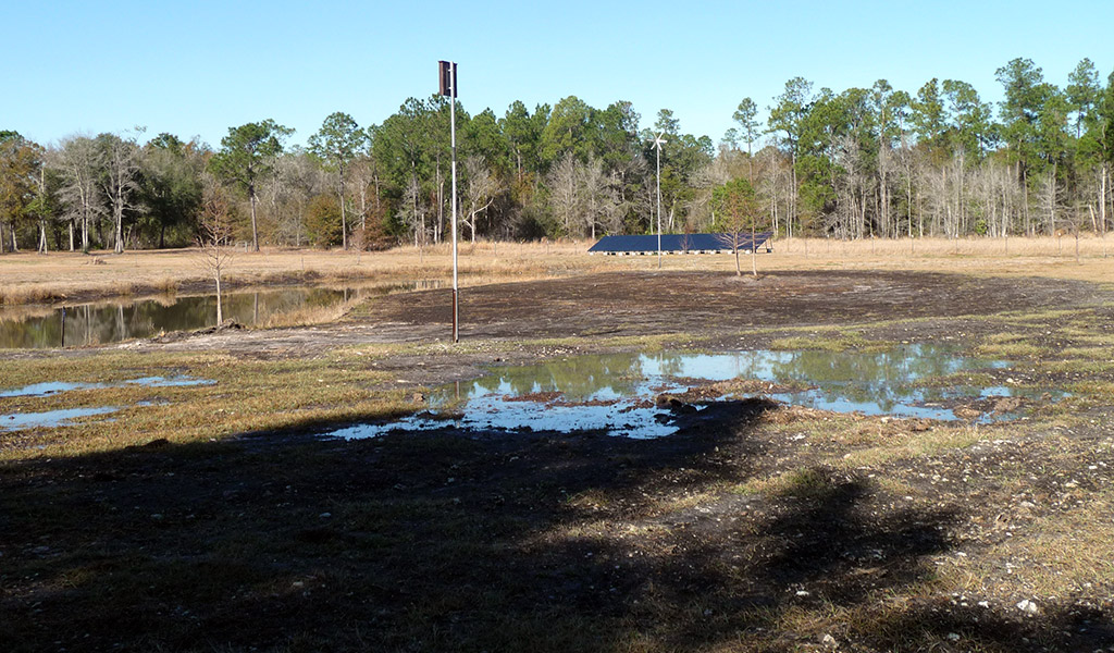
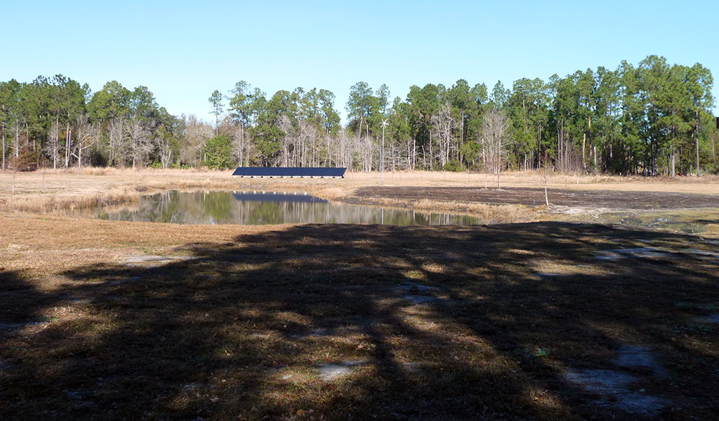
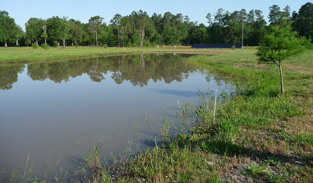
Wetland Delineation: Trenton, Florida
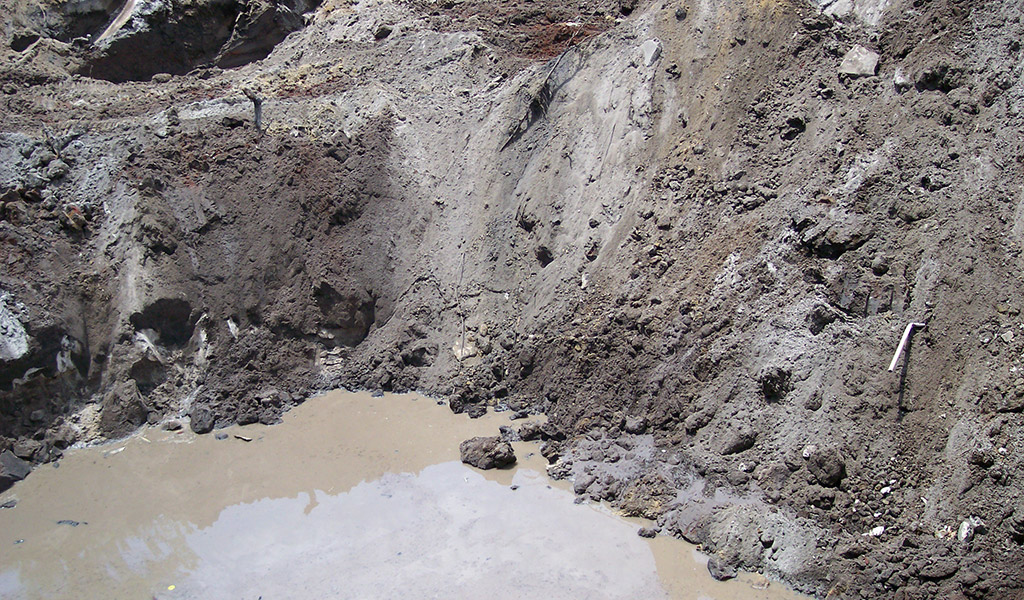
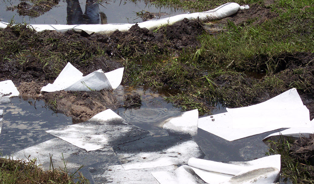
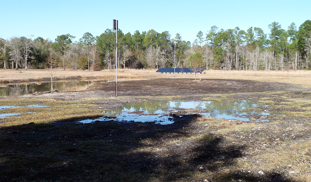
Longleaf Environmental was contracted to perform a Wetland Delineation on a pond that was created by a homeowner in Gilchrist County, Florida. The homeowner installed a solar panel and modified a low-lying area of their property that held water at various times of the year.
The Suwannee River Water Management District (SRWMD) determined that this was a non-permitted modification of a wetland. The district required the property owner to restore the wetland area to its’ natural condition. Our staff reviewed the district’s letter of violation and discussed the situation with district staff as well as the homeowners. We met onsite with both parties and negotiated an agreement with district staff that our clients for reasonable.
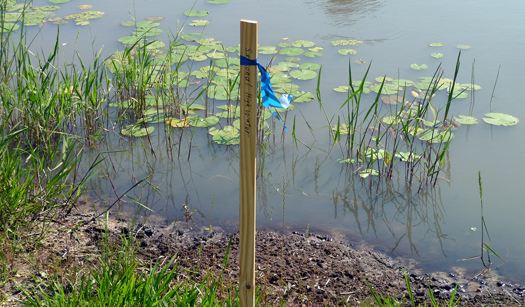
Longleaf Environmental evaluated vegetation and soil conditions in order to estimate the high-water level. Our staff flagged the wetland boundary as part of the delineation process and had a surveyor place our field locations on a Professional Land Survey for submittal to the district.
Our client was happy we were able to resolve this situation in one step and the district knew that we would give them exactly what they required based on experience in working with our firm in the past.